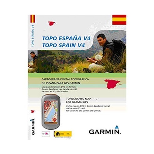
Offers precise topographic mapping at a scale of 1:25,000-1:50,000. Shows land use, such as forests, lakes, streams and mountains. Shows height contour lines at 20 m (65 ft) intervals. Includes Digital Elevation Model (DEM) with mountain shading for compatible Garmin devices. Includes searchable points of interest for recreational activities and traveling. Helps you plan routes on your PC using the DVD. Offers plug- and-play with microSD/SD for compatible devices.
- CYCLING STYLE
- MULTI DISCIPLINE
- DATA TRANSMITION
- GPS
- COMPUTER PARTS
- OTHER
- CATEGORY
- COMPUTERS AND GPS
- Other seasons
- 2014
080980


